About this Block
What it does: Imports external data from a source .csv file into a Scalar Point Map. The .csv file needs to contain lines of four scalar numbers separated by commas. The first three numbers in the row define the position of a point, and the last number defines a vector assigned to that point. You can generate the input .csv file from external CAD software, spreadsheet software, or a scripting language like MATLAB or Python. The input file must be a .csv, but .xls, .txt, or other readable file formats can be saved as .csv before importing. Tips:- The Units input specifies the length units that you assign to the points.
- The Scale input allows you to scale the values (the 4th column in the file) by a scalar number and optionally, specify units.
- The .csv file should not contain units, but units can be assigned to the input value by Scale input.
Example File
Download Example: Import Scalar Point Map Download CSV: Import Scalar Point Map In this example, a scalar point map is imported, and the values have been given a unit (Newtons) by using a Scale input of 1 N.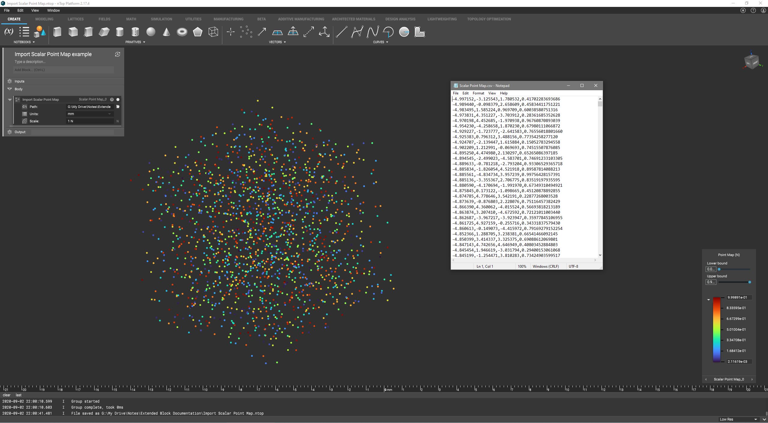
Import scalar point map data from a CSV file. Each row of the source file should be formatted as “x, y, z, s.”
Inputs
| Name | Type | Description |
|---|---|---|
| Path | Path | The source file. |
| Units | Length Unit Enum | The units of the points in the source file. |
| Scale | Scalar Field | A scale factor to apply to the source data. Units can also be assigned with this input. |
Outputs
| Type |
|---|
| Scalar Point Map |